Quick Facts
In This Guide
Trail Overview
Alum Cave Trail is perhaps the most beloved hike in Great Smoky Mountains National Park. The trail packs incredible geological features, stunning views, and an optional summit push into one unforgettable experience. Whether you are seeking a half-day adventure to impressive rock formations or an all-day summit attempt to Mount LeConte, this trail delivers.
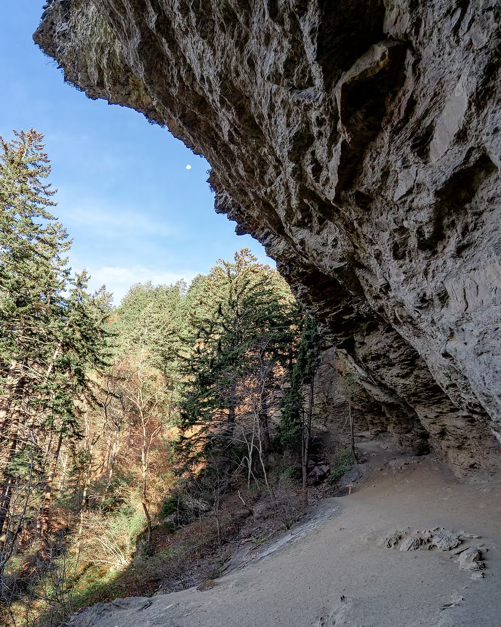
The trail is named for the massive overhanging bluff near the halfway point. Despite being called a "cave," Alum Cave Bluffs is actually a large concave bluff extending 80 feet high and 500 feet long. This dramatic geological formation provided shelter to early settlers and continues to impress the thousands of hikers who visit annually.
What makes this trail special is its flexibility. Families with children can enjoy the moderate hike to Arch Rock (2.8 miles round trip), while more ambitious hikers can push all the way to the summit of Mount LeConte, the third highest peak in the Smokies.
Most visitors hike to Alum Cave Bluffs and back, making for a 4.4-mile round trip that takes 3-4 hours. This hits all the major highlights except the summit views, which require a much longer and more strenuous effort. Start early to beat the crowds and secure parking.
Three Hiking Options
Option 1: Arch Rock (2.8 miles round trip)
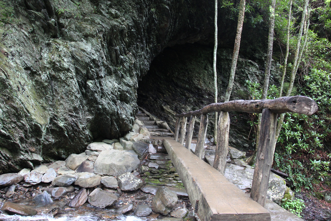
A moderate hike to the impressive natural rock arch formation. Perfect for families with children or those wanting a shorter adventure. The arch was formed by centuries of water erosion through slate rock, creating a natural tunnel large enough to walk through. Stone steps lead through the formation, making it accessible to most hikers.
Option 2: Alum Cave Bluffs (4.4 miles round trip)
The most popular turnaround point and a rewarding destination in itself. The massive overhanging bluff is a dramatic geological feature worth the moderate effort to reach. Mineral deposits on the rock give it distinctive coloring, and in winter, impressive icicles form from seeping water. This makes for a satisfying half-day adventure.
Option 3: Mount LeConte Summit (11 miles round trip)
The full experience for ambitious hikers. Continuing past Alum Cave, the trail becomes significantly more challenging with cable handholds, exposed cliffs, and dramatic alpine scenery. At the summit you will find LeConte Lodge (reservations required far in advance for overnight stays), a shelter, and multiple viewpoints including Cliff Tops and Myrtle Point.
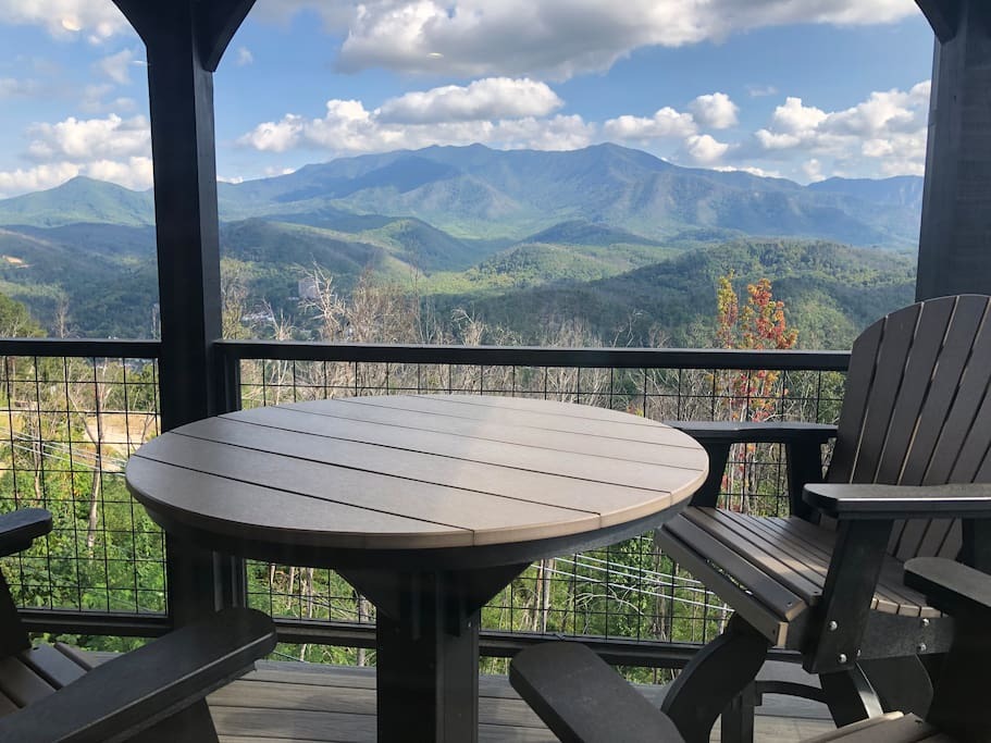
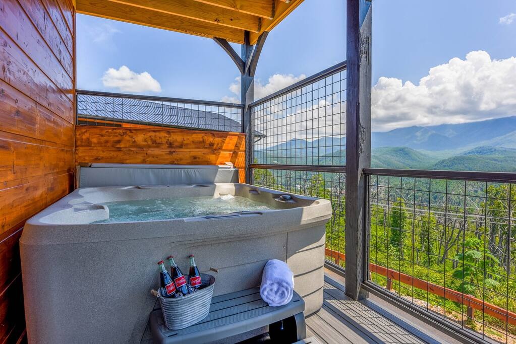
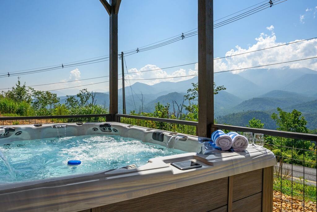
Planning a LeConte Summit Hike?
Start your day from one of our comfortable cabins with hot tubs perfect for post-hike recovery!
Check Cabin AvailabilityTrail Highlights
Arch Rock (Mile 1.4)
A natural tunnel carved through massive slate rock by centuries of water erosion. Stone steps lead through the arch, which is large enough to walk through comfortably. This is the first major geological feature on the trail and a popular photo spot. The rock layers visible here tell the story of ancient seas and mountain-building forces.
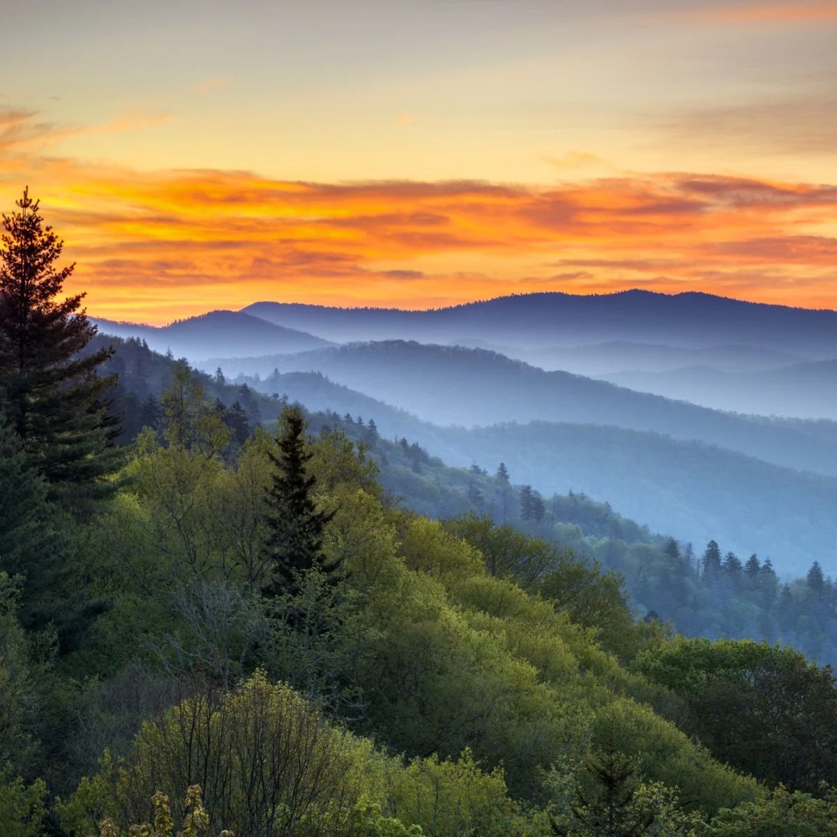
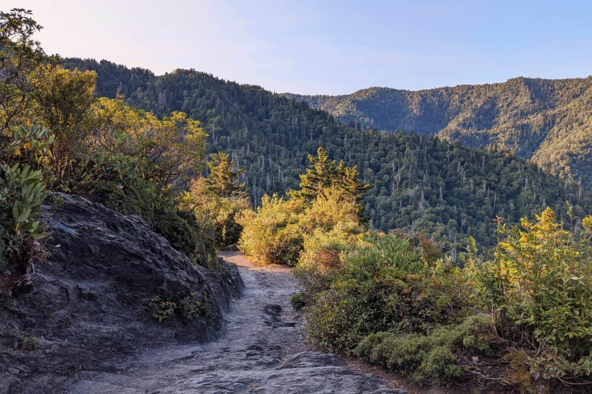
Inspiration Point (Mile 1.8)
A rocky overlook offering your first panoramic mountain views. On clear days, you can see Newfound Gap Road winding through the valleys below and ridgeline after ridgeline fading into the famous Smoky Mountain haze. This is an excellent spot for photos and a well-deserved rest before the final push to the bluffs.
Alum Cave Bluffs (Mile 2.2)
The massive concave bluff that gives the trail its name. The overhang extends 80 feet high and 500 feet long, creating a dramatic natural shelter. Early settlers mined alum and other minerals from these cliffs, and the name stuck even though it is not technically a cave. The scale is difficult to appreciate until you are standing beneath it.
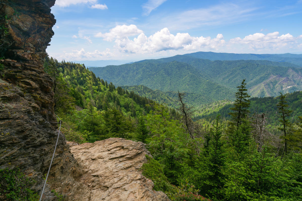
Beyond Alum Cave: The Summit Push
If you continue past Alum Cave toward the summit, the trail becomes significantly more challenging and more rewarding:
- Cable handholds: Metal cables assist on exposed rock sections
- Narrow trails: Some sections along cliff edges require careful footing
- Increasing views: The scenery becomes increasingly spectacular
- Rocky terrain: The final approach crosses challenging alpine terrain
At the summit, you will find LeConte Lodge, the only lodge in the park accessible only by foot. Overnight stays require reservations often made a year in advance. Even without staying overnight, multiple viewpoints reward the effort, including Cliff Tops (best for sunset) and Myrtle Point (best for sunrise).
Getting There and Parking
The trailhead is on Newfound Gap Road (US-441), about 8.5 miles from Sugarlands Visitor Center. The parking lot is one of the largest at any trailhead in the park, but it still fills early on weekends, often by 8 AM during peak season from June through October.
Approx drive time from our cabins: 20 minutes.
Parking Information
A parking permit ($5/day or $40/year) is required from March through November. Consider arriving by 7:30 AM on weekends or visiting on weekdays for easier parking and a more peaceful hiking experience.
What to Bring
- Water: At least 2 liters for the bluffs, 3+ liters for the summit hike
- Sturdy hiking boots: The rocky, rooty trail demands good footwear
- Layers: Temperatures drop significantly at higher elevations
- Rain gear: Weather changes quickly in the mountains
- Headlamp: Essential if doing the summit and potentially returning after dark
- Lunch and snacks: Energy for the climb
- Camera: The views are spectacular at every stop
- Trekking poles: Helpful for rocky sections, especially on the descent
Best Times to Visit
- Fall (October): Spectacular foliage and cooler hiking temperatures
- Early morning: Best light for photography and fewer crowds
- Weekdays: Significantly less crowded than weekends
- After rain: Small waterfalls along the trail become more impressive
Avoid this trail during ice and snow unless you have proper traction devices. The rock sections become extremely dangerous when icy, and even experienced hikers have been injured on the cable sections in winter conditions.
Approx Drive Time from Our Cabins
| Location | Drive Time |
|---|---|
| Our Cabins to Alum Cave Trailhead | Approx 20 minutes |